
Understanding Altitude and Ground Coverage: The Science Behind Effective Aerial Surveillance
From drones and satellites to sensor payloads: Explore the technical trade-offs between operating altitude, ground coverage, and intelligence gathering in modern aerial surveillance.
· 2 min read
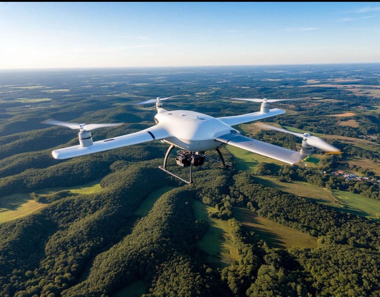
Altitude is one of the defining factors in aerial surveillance. Whether using drones, aircraft or satellites, the height at which a platform operates influences the area it can observe, the level of detail its sensors can capture and the quality of intelligence generated from the information collected. Understanding this relationship is essential for organisations deploying aerial systems for security, environmental monitoring, infrastructure inspection, mapping and other applications that depend on accurate and timely information.
The Trade-off Between Coverage and Detail
As altitude increases, an aerial platform can generally observe a wider ground area, allowing it to monitor extensive territories and identify broader patterns. This makes higher operating altitudes particularly useful for missions that prioritise wide-area coverage.
However, greater coverage can come at the expense of detail. As the distance between a sensor and the ground increases, individual pixels represent larger ground areas, potentially making smaller objects and specific features more difficult to distinguish. Lower altitudes can provide greater visual detail and support more precise observation, although they cover a smaller area at a time. Effective surveillance therefore depends on the mission objective: broad-area monitoring may require wider coverage, while tasks demanding finer detail may require different altitude settings and sensor configurations.
Environmental and Sensor Dynamics
Altitude is only one part of the equation. Environmental conditions, platform characteristics and the type of sensor deployed also influence surveillance performance.
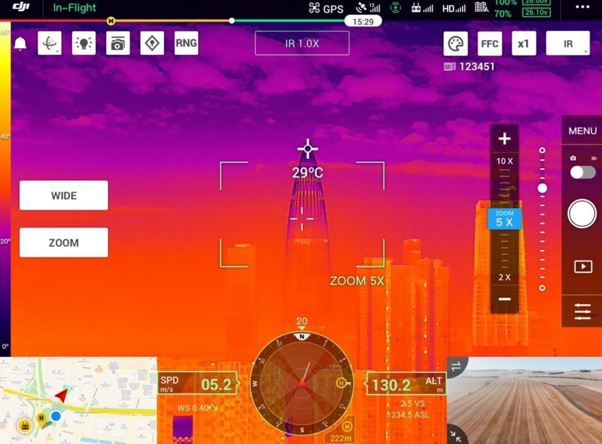
Optical Systems: Cameras capture visual imagery and can provide detailed observations under suitable lighting and weather conditions.
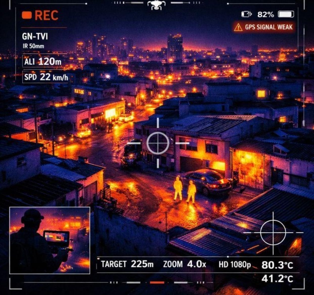
Infrared and Thermal Payloads: These systems detect infrared energy and can support observation in low-light or nighttime environments.
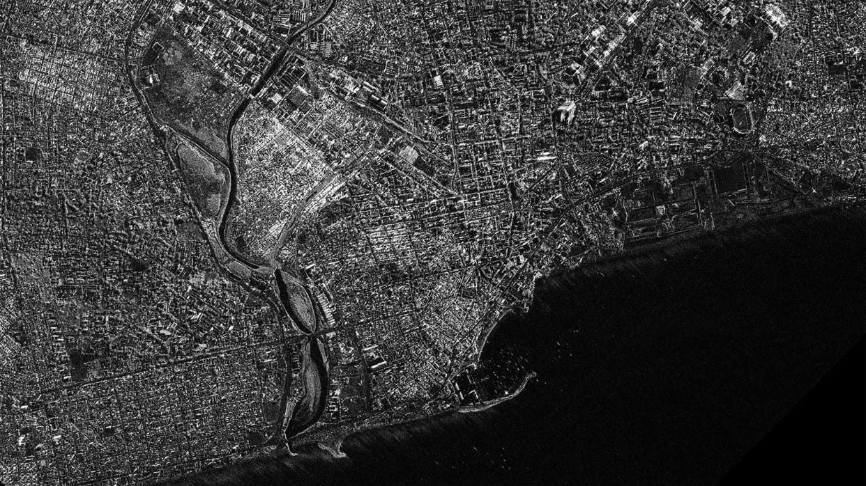
Radar Technologies: Radar systems offer distinct advantages, including the ability to gather information in conditions where cloud cover or limited visibility may affect conventional optical sensors.
Weather, terrain, airspace restrictions and platform capabilities must therefore be considered alongside the desired coverage and image quality. Rather than treating altitude as a fixed setting, effective aerial surveillance requires continuous consideration of the relationship between the platform, sensor, operating environment and mission objective.
Legal, Ethical and Operational Accountability
Technical performance alone does not determine the effectiveness of an aerial surveillance operation. Responsible deployment also requires attention to the legal and ethical frameworks governing the use of these systems.
Airspace regulations differ across jurisdictions, and surveillance activities must comply with applicable laws and operational authorisations. Privacy and data protection are equally important, particularly when systems collect detailed information about individuals, homes and other sensitive locations. Clear operating procedures, appropriate oversight and responsible data management help ensure that technological capability is matched by accountability.
The Future of Aerial Intelligence
The future of aerial surveillance lies in understanding how altitude, sensors and ground coverage interact, then adapting these capabilities to specific operational requirements and deploying them within appropriate legal, environmental and ethical boundaries.
As drones, aircraft, satellites and sensor technologies continue to advance, the value of aerial surveillance will depend on more than how high a platform can fly or how much territory it can cover. It will increasingly depend on how effectively information is captured, interpreted and applied to support informed decisions.
Ultimately, effective aerial intelligence requires a balance between coverage, precision, technology and responsibility. It is this balance that transforms aerial observation into meaningful intelligence and more effective operational outcomes.